
 Myrna Whitaker
  Nils Lund
  Anna Broberg
  Lo Elmqvist


Satellite service monitors ground for construction
19/04/2024, 07:01
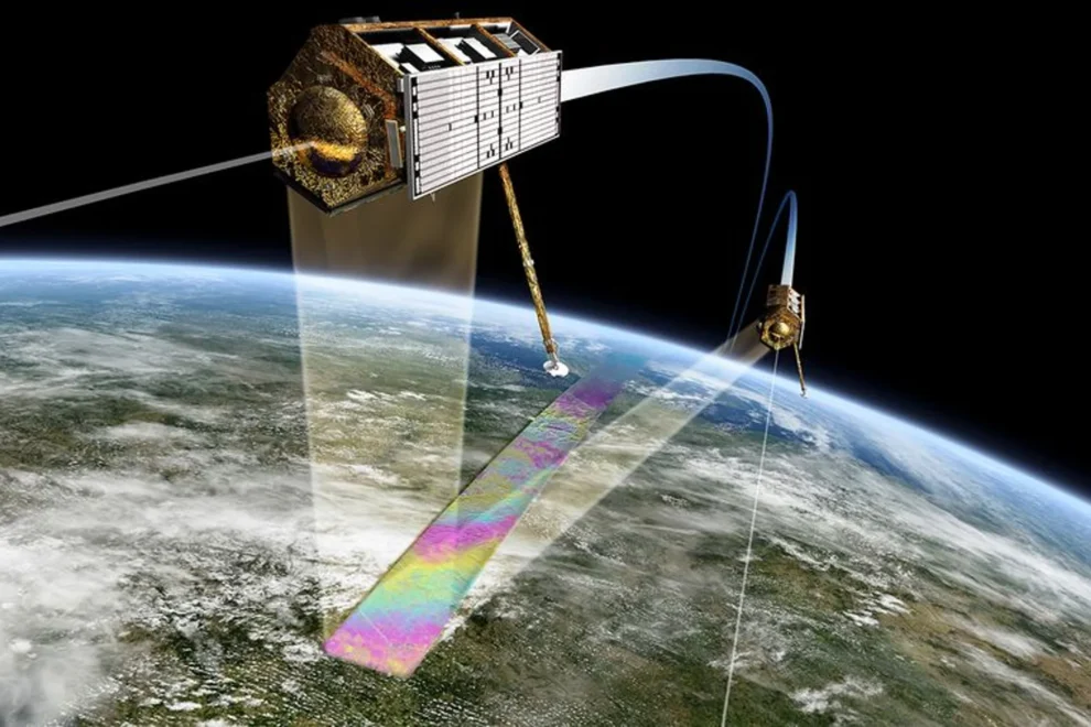
The Norwegian Geotechnical Institute (NGI) and Kongsberg Satellite Services (KSAT) have launched Inio, a satellite-based service that allows construction companies and infrastructure providers to precisely monitor ground movements that could signal instability problems.
Inio utilizes a technique named InSAR (Interferometric Synthetic Aperture Radar) which analyzes radar signals from satellites to detect minute ground displacements and deformations down to the millimeter level. Even small shifts in the ground can potentially cause major issues for buildings, roads, railways and other infrastructure projects.
By keeping a constant watch for abnormal ground motion from space, the new service can alert project teams to emerging instability risks early enough to take preventive measures, avoid costly repairs and prevent infrastructure damage.